Qatar Ground Motion Service
InSAR-based ground motion monitoring system
Qatar Ground Motion Service web portal
Grant Title: An automated country-wide ground deformation monitoring system based on satellite interferometry
Funding Agency: Qatar Ministry of Municipality
Period: 2024 – 2025
Overview
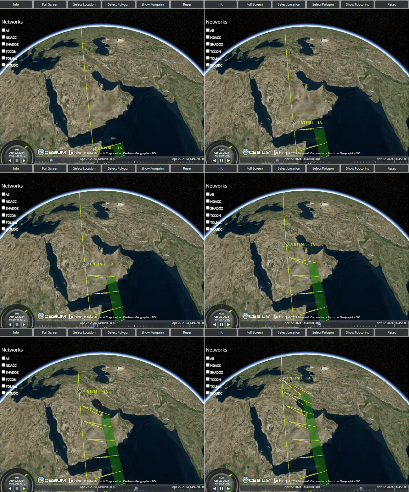
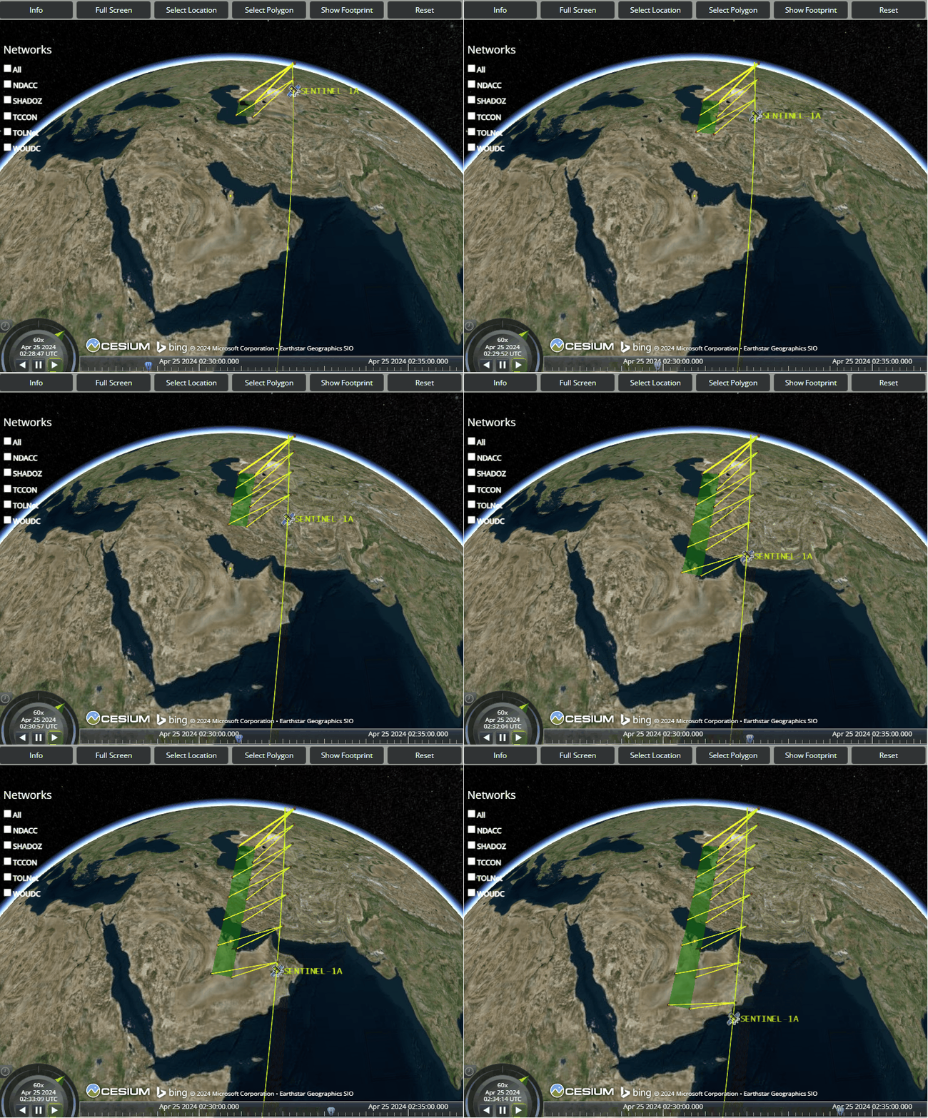
The Qatar Ground Motion Service (QGMS) is a fully automated InSAR monitoring system that ingests Sentinel-1 acquisitions, detects millimeter-scale surface motion, and delivers actionable intelligence to municipal agencies. Hosted at Western Michigan University, the service provides map-based alerts, trend analyses, and dashboards for infrastructure stewardship in a rapidly growing nation.
Phase 4 Objectives
- Operate and maintain the national monitoring pipeline on WMU servers for continuous coverage.
- Upgrade the public-facing portal to a modern, high-performance visualization stack.
- Train and mentor Ministry engineers as they migrate QGMS to in-country infrastructure.
- Expand analytics for asset-scale risk screening (roads, buildings, utilities).
- Deliver quarterly deformation bulletins and priority watch lists.
Products
Qatar Ground Motion Service web portal
- Automated Sentinel-1 interferometric processing (ascending and descending tracks).
- Building-level deformation catalogs and stability classifications.
- Interactive portal with alert layers, temporal charts, and download tools.
- Technical transfer package for long-term Ministry operations.


We continue partnering with the Ministry of Municipality to ensure QGMS delivers early warnings and supports proactive maintenance. By detecting subtle subsidence, uplift, or lateral motion before they escalate, QGMS helps protect transportation corridors, utilities, industrial hubs, and residential developments across Qatar.
